modernterrain
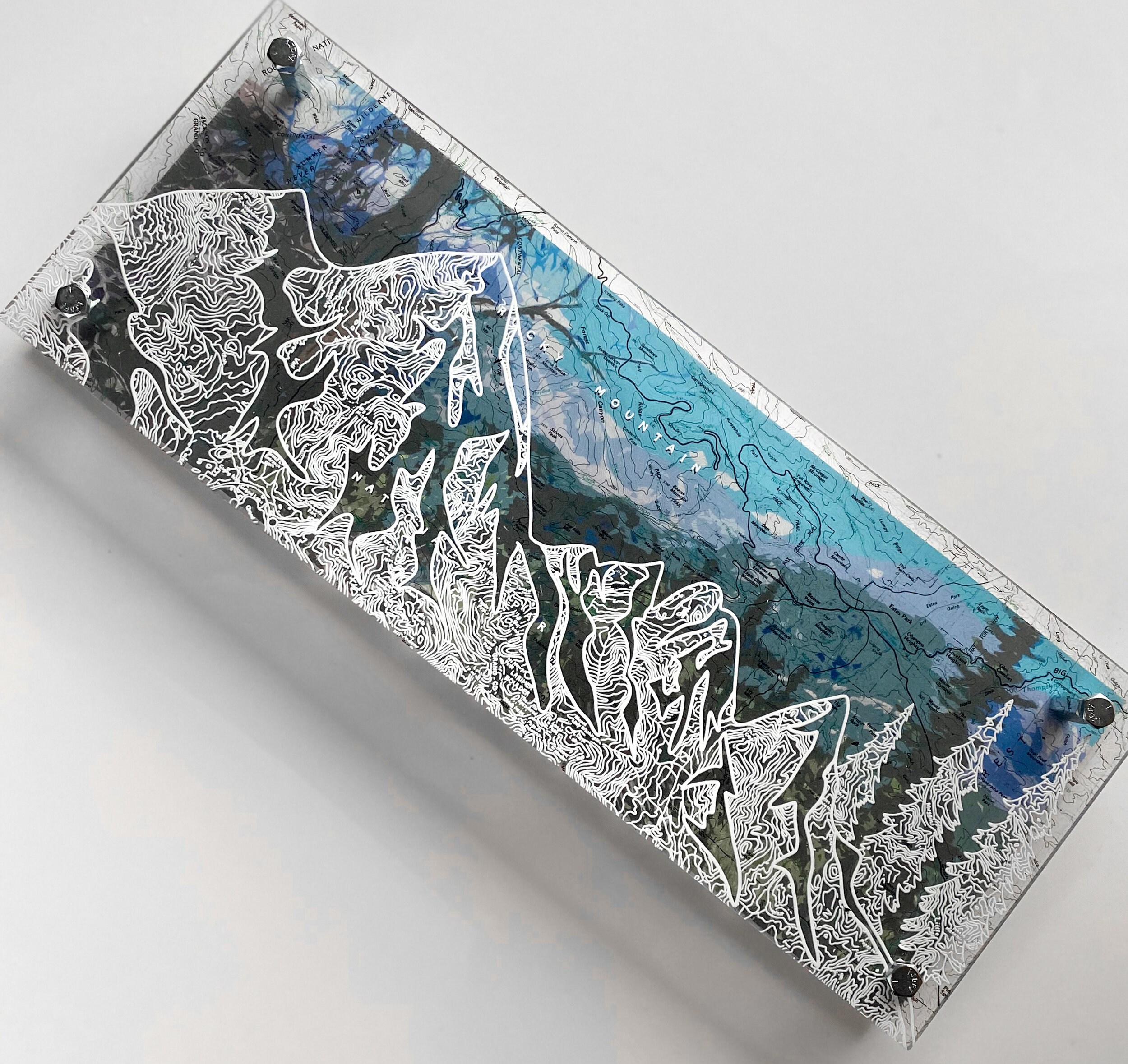
Rocky Mountain National Park - Colorado
6 “x 16” x .75 “ The Epic Rocky Mountain Range - hand-drawn on a map of the Rocky Mountain National Part. he map features Longs Peak, Estes and Eagle Cliff Mountain. The background photograph is an original I took above Estes at Bear Lake I digitized the image to create the vintage style you see behind the mountains. Artwork is made to order - please allow up to 2 weeks for delivery time on most purchases - thank you! Feel free to contact me for faster shipping and rush order options, hi@modernterrain.com About my work: Maps are designed on clear plexiglass - I trace the map lines within the silhouette in white ink, creating original patterns from the topography or city block lines. Each map & illustration is backed with an original photograph I took on location. The unframed, dimensional nature of my work showcases the map, illustration and photographs in a single, contemporary design. All maps are based on GIS, Forest Service Maps and historical files. Size 6” x 16” Weight <1lbs Hangs on Nail or Small Hook Uv Rated, Water and Sunlight Proof. Interested in a custom piece? Interested in a custom design- fill out mycommission request formor shoot me an email, Hello@modernterrain.com Octopus Photo Shows Layers Between the Map and Background Photography - the unframed frame of Modern Terrain.